GEO 440: Lab 1
Department of Geography
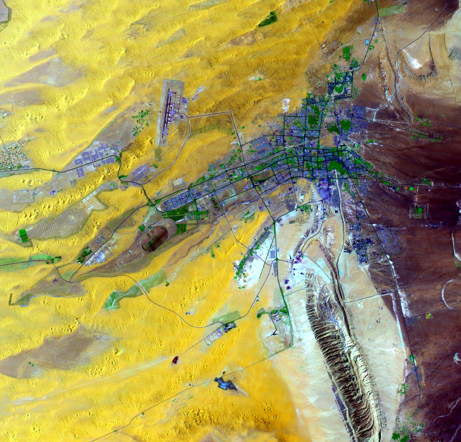
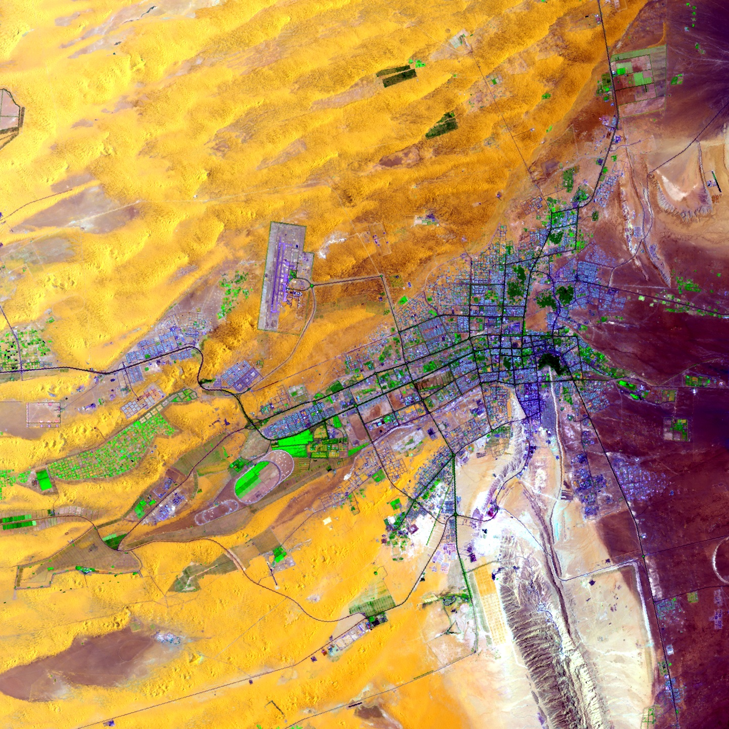
Exercise 1: Lab 1 Remote Sensing and GIS for Urban Population (Al Ain)
This exercise will let you apply the listen learned on using RS for population analysis in urban areans
Step1: Downloading the data into ArcMap
Go to the following page http://faculty.uaeu.ac.ae/myagoub/main_Al-Ain.htm
and download the following population data:
Step2: Explore the data and the fields of the population attribute table)
Step3: Try to find out where most men are located in Al Ain? What areas have the most women? why?
Step4: explore all the data with in the the above website form any extra information you like to add
Step5: Adding graphics and print your maps (save your tables)
You can add text and other graphics to your display using the Draw toolbar at the bottom of the ArcMap window.
End of Exercise